Results for "south"

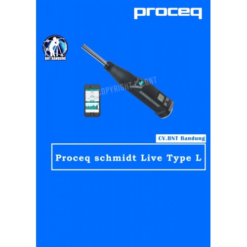
HAMMER TEST PROCEQ SCHMIDT LIVE TYPE L

Proceq Original Schmidt Live Type L

DIFFERENCE Type N & L:
* Type N: Standard impact energy. Minimum thickness of test object: 100 mm (3.9) and should be firmly fixed in the structure
* Type L: Low impact energy. Suitable for brittle objects or structures less than 100 mm (3.9) thick

OVERVIEW:
The Original Schmidt Live is a uniquely versatile hammer that can be used as stand-alone analog hammer, a stand-alone digital hammer, together with a Bluetooth printer and finally as the worlds most advanced R-value concrete test hammer with the Schmidt Live app

KEY FEATURES:
* Comprehensive Apple iOS app for measuring, reporting and analysis
* Web reporting tool for instant offsite data availability and synchronizing
* Light and strong fiber-reinforced shell
* Powered by flight-safe AAA batteries
* Dual displays: analog and backlit digital
* All mechanical components are Original Schmidt components to ensure standards compatibility and durability

MEASUREMENTS:
* Automatically detects and corrects for impact angle
* Displays the series on-screen as you work
* Series validity checked automatically
* Review an entire series
* Delete impacts
* Test regions
* Select units, form factor and correlation curves
* Create your own custom curves
* Create custom curves databases for your own mixes

WITH Apple iOS app, you can:
* Allows you to test in accordance with major standards
* Visual reports are generated using lists, bar charts, and statistics
* Records data from the app to a web reporting tool
* Report export options of PDF or CSV
* Records GPS locations, enables adding notes, images and audio comments using the Logbook feature for full measurement activity traceability. Logbook feature for full measurement activity summaries
* Hammer verification management to help keep hammers calibrated as required by standards
* Impact results can be heard live in audio on Apple iOS devices via text-to-speech
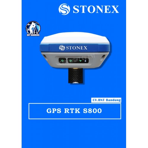
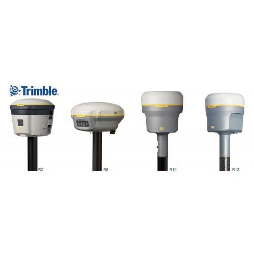
GPS Geodetik RTK GNSS Stonex S800

GPS Stonex S800 mampu melakukan pelacakan melalui berbagai macam GNSS seperti GPS, GLONASS, Galileo, BeiDou, IRNSS, dan QZSS dengan dukungan 555 channels. Melalui keunggulan pelacakan menggunakan berbagai GNSS lah yang menjadikan GPS S800 mampu memberikan hasil kinerja yang sangat akurat. Designnya sendiri dibuat praktis dengan dilapisi IP67 yang mampu menahan debu, air dan goncangan sekalipun. Pastinya GPS S800 sangatlah kuat dan kukuh jika dibawa ke medan yang cukup kasar, sangat recommended.

Dengan teknologi canggih E-Bubble, GPS S800 dapat langsung menampilkan tiang vertikal dan titik yang terekam otomatis pada perangkat lunaknya saat tiang diratakan. Hal ini memungkinkan untuk menghitung titik dalam kemiringan >30 dereajat. GPS S800 pun memiliki teknologi canggih lainnya seperti radio internal 10-470MHz dan 902,4-928MHz, modem gsm 4G dengan internet yang sangat cepat dan juga Wi-Fi yang akan membantu para surveyor dalam mengunduh dan mentransfer data dari / ke hp, tablet, laptop dan komputer. Kapasitas dan daya tahan baterai yang diberikan pun terbilang cukup lama untuk menemani surveyor dalam kegiatan surveying seharian, yaitu 5200mAh yang mampu bertahan selama 10 jam. Surveyor tidak perlu khawatir, karena baterai ini sifatnya rechargeable alias dapat diisi ulang yang hanya memakan waktu 4 jam.

SPESIFIKASI GPS STONEX S800:

  • Channels: 555
  • GPS: L1C/A, L1C, L2P, L2C, L5
  • GLONASS: L1C/A, L2C, L2P, L3, L5
  • BeiDou: B1, B2, B3
  • Galileo: E1, E5 AltBOC, E5a, E5b, E6
  • QZSS: L1C/A, L1C, L2C, L5, L6
  • SBAS: L1, L5
  • IRNSS: L5
  • Position Rate: 5 Hz, optional up to 20 Hz
  • Signal Reacquisition: < 1 sec
  • RTK Signal Initialization: Typically < 10 s
  • Hot Start: Typically < 15 s
  • Initialization Reliability: > 99.9 %
  • Internal Memory: 8 GB
  • Battery: Rechargeable 7.2 V-6800 mAh
  • Rechargeable 7.2 V-5200 mAh
  • Voltage: 9 to 18 V DC external power input with over-voltage protection (5 pins Lemo)
  • Working Time: 10 hours
  • Charge Time: Typically 4 hours
  • Weight: 1.2 Kg
  • Dimensions: 146 mm x 146 mm x 76 mm
  • Operating Temperature: -40 °C to 65 °C
  • Storage Temperature: -40 °C to 80 °C
  • Waterproof/Dustproof: IP67
  • Shock Resistance: Designed to endure to a 2m drop pole on concrete floor with no damage
  • Vibration: Vibration resistant


Note:
*Harga Dapat Berubah Sewaktu – waktu tanpa pemberitahuan terlebih dahulu.
*Mohon tanya ketersediaan barang terlebih dahulu.


Harga disini bukan estimasi harga OTR per unit, untuk info harga dan type lebih lanjut bisa via telepon atau Whatsapp.

Barang Pre Order Terlebih dahulu ya gusy
Brang 1000% original
dan beserta aksesoris nya


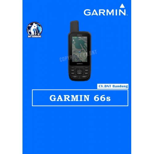
Gps Garmin 66s

FREE PETA INDONESIA, Isi sendiri peta nya ya, biar pada pinter, nga di bohongi seller dengan harga lebih tinggi, padahal peta gratis…..

Peta mohon isi sendiri, caranya, lihat paling bawah.
Kenapa peta harus isi sendiri? Agar apabila tersedia update peta terbaru, pembeli bisa langsung update sehingga tidak tergantung kepada penjual dan pembeli tahu dimana bisa download peta Indonesia

OVERVIEW:
All NEW GPSMAP 66s include now ANT+, Bluetooth LE, Wi-FI and USB for connectivity with smartphones (Bluetooth), wireless home networks (Wi-Fi), sensors (ANT+, Bluetooth) or even desktop PCs (USB)

KEY FEATURES:
* 3″ screen with 240 x 400 pixels
* Multi GNSS support (GPS / GLONASS / GALILEO)
* Several wireless interfaces (ANT+ / Bluetooth LE / Wi-FI)
* Garmin Connect IQ apps, data fields & widgets
* 16 GB built-in memory
* 20,000 points per track log
* 10,000 waypoints
* LED flashlight, SOS beacon
* Red flashing LED near antenna (used for expedition mode)
* RINEX logging (L1 band)

WHAT’S IN THE BOX:
* GPSMAP 66s
* Access to Birdseye Satellite Imagery
* USB cable
* Carabiner clip
* Documentation

CARA UPDATE PETA:
1. Klik link ini: http://navigasi.net/goptd.php#
2. Cari kata “mendownload”, kemudian klik
3. Klik angka “1′ pilih “Garmin GMAPSUPP”
4. Selesai download, save file nya
5. Colok GPS via USB ke computer
6. Copy kan file yg barusan didownload ke folder “Garmin” di GPS
7. Selesai

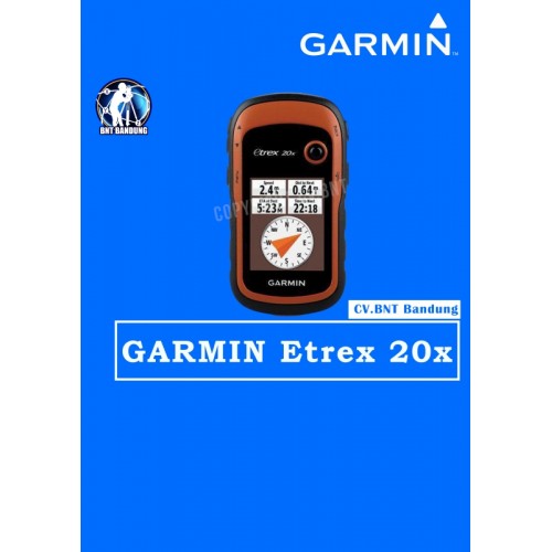
Gps Garmin Etrex 20x

Deskripsi Garmin GPS eTrex 20x alternatif eTrex 10 eTrex 30x

Popular Handheld GPS with Enhanced Memory and Resolution
* Greater resolution with 240 x 320 display pixels for improved readability
* Internal memory expanded to hold more maps
* High-sensitivity, WAAS-enabled GPS receiver with HotFix® and GLONASS support
* 2.2-inch color display
* Worldwide basemap with shaded relief

eTrex 20x is our upgraded version of the popular eTrex 20, with enhanced screen resolution for a more readable display and internal memory expanded to hold more maps. It retains the ease-of-use, durability and affordability that eTrex is legendary for and can also be used on ATVs, bicycles, boats, cars or hot air balloons

SPECIFICATIONS:
* Display size: 1.4″ x 1.7″ (3.5 x 4.4 cm); 2.2″ diag (5.6 cm)
* Display resolution: 240 x 320 pixels
* Battery life: 25 hours
* Water rating: IPX7
* Memory/History: 3.7GB
* Interface: USB
* Storage and Power Capacity: microSD™ card (not included)
* Waypoints/favorites/locations: 2000
* Routes: 200
* Track Log: 10,000 points, 200 saved tracks
* Area calculation

EACH UNIT INCLUDES WITH:
* eTrex 20x
* USB cable
* Documentation

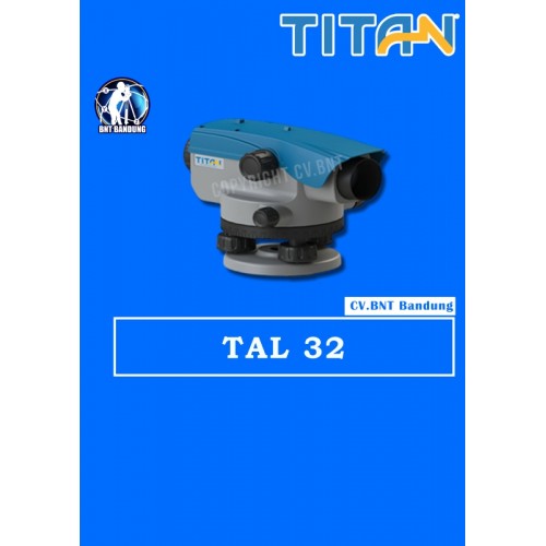
waterpass autolevel titan tal 32

Deskripsi Waterpass Automatic Level Titan TAL32 Original Garansi Titan TAL 32
Waterpass Titan TAL32 is the high precision auto-level designed for daily uses as a credible survey instrument. It is suitable for construction projects, mines, road works, etc. Equipping with an air compensator, a high precision leveling line will settle automatically after the circular bubble is adjusted properly. On top of that, the IP 66 standard body protecting the instrument from dust and water, satisfying most of the working needs.

Product Specification Waterpass Titan TAL32
Net Weight:1.4KG
Size:210mm x 135mm x 140mm
Technical Details
Deviation:1.5MM
Magnification:32X
Filed of View:1°20′
Objective Aperture:36mm
Minimum Focusing distance:1m
Stadia:100
Type:Air
Compensating Range:±15’
Setting Accuracy:±0.5”
Operating Temperature:-20°C ~ +40°C
Storage Temperature:-40°C ~ +60°C