
Description
Bergaransi dan Berkualitas
Untuk Negosiasi Harga bisa langsung WA/Call
GRATIS ONGKIR UNTUK WILAYAH BANDUNG
TOP SEARCH :
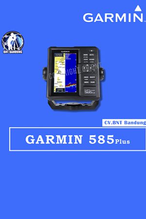
Total Station Topcon GM 52 , Total Station Sokkia IM 52 , Total Station Topcon OS 201, Total Station Sokkia FX 201, GPS RTK Hi Target V30 Plus, GPS RTK Comnav T300, Sewa rental total Station, Sewa Rental GPS RTK, Jasa Survey Pemetaan, Pelatihan Survey, Total Station Nikon K2, Total Station Nikon K5, Gps Handheld, GPS Map, GPS Geodetik, GPS RTK, Total Station, Theodolite, Waterpass, Autolevel, Alat Lab, Sondir Soil Test, Current Meter, Total Station Bekas, Jasa pengukuran topografi, Jasa Service Kalibrasi, Topcon, Sokkia, Trimble, Leica, Nikon, South, Stonex, Ruide, Geomax, Hi target, Garmin, gowin, Aksesoris survey


Reviews
There are no reviews yet.