Results for "gps map"

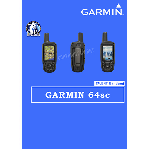
Gps Garmin 64sc

Deskripsi Garmin GPSMAP 64sc 64s/c – GPS

Yang kami tawarkan ini adalah 64SC SiteSurvey dengan kelebihan Alat SiteSurvey PC yang mendukung aneka format berkas impor/ekspor GIS Mif, shp, dxf, csv, kml, gpx, txt untuk disesuaikan dengan berbagai perangkat lunak dan layanan

Rugged Handheld with GPS/GLONASS, Wireless Connectivity and Digital Camera

FEATURES:
* The SiteSurvey PC tool supports the import / export format of MIS GIS documents, shp, dxf, csv, kml, gpx, txt to suit various software and services
* 8 megapixel autofocus camera with automatic geotagging
* High-sensitivity GPS and GLONASS receiver with quad helix antenna
* 3-axis compass with barometric altimeter
* Wireless connectivity via Bluetooth technology or ANT+
* Ample 4GB of built-in memory easily stores your maps
* Includes a one-year Birdseye Satellite Imagery subscription

WHAT’S IN THE BOX:
* GPSMAP 64sc
* AC charger
* Rechargeable NiMH battery pack
* Carabiner clip
* USB cable
* Manual

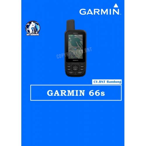
Gps Garmin 66s

FREE PETA INDONESIA, Isi sendiri peta nya ya, biar pada pinter, nga di bohongi seller dengan harga lebih tinggi, padahal peta gratis…..

Peta mohon isi sendiri, caranya, lihat paling bawah.
Kenapa peta harus isi sendiri? Agar apabila tersedia update peta terbaru, pembeli bisa langsung update sehingga tidak tergantung kepada penjual dan pembeli tahu dimana bisa download peta Indonesia

OVERVIEW:
All NEW GPSMAP 66s include now ANT+, Bluetooth LE, Wi-FI and USB for connectivity with smartphones (Bluetooth), wireless home networks (Wi-Fi), sensors (ANT+, Bluetooth) or even desktop PCs (USB)

KEY FEATURES:
* 3″ screen with 240 x 400 pixels
* Multi GNSS support (GPS / GLONASS / GALILEO)
* Several wireless interfaces (ANT+ / Bluetooth LE / Wi-FI)
* Garmin Connect IQ apps, data fields & widgets
* 16 GB built-in memory
* 20,000 points per track log
* 10,000 waypoints
* LED flashlight, SOS beacon
* Red flashing LED near antenna (used for expedition mode)
* RINEX logging (L1 band)

WHAT’S IN THE BOX:
* GPSMAP 66s
* Access to Birdseye Satellite Imagery
* USB cable
* Carabiner clip
* Documentation

CARA UPDATE PETA:
1. Klik link ini: http://navigasi.net/goptd.php#
2. Cari kata “mendownload”, kemudian klik
3. Klik angka “1′ pilih “Garmin GMAPSUPP”
4. Selesai download, save file nya
5. Colok GPS via USB ke computer
6. Copy kan file yg barusan didownload ke folder “Garmin” di GPS
7. Selesai

Gps Garmin Etrex 20x

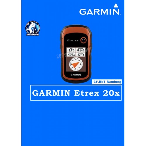
Deskripsi Garmin GPS eTrex 20x alternatif eTrex 10 eTrex 30x

Popular Handheld GPS with Enhanced Memory and Resolution
* Greater resolution with 240 x 320 display pixels for improved readability
* Internal memory expanded to hold more maps
* High-sensitivity, WAAS-enabled GPS receiver with HotFix® and GLONASS support
* 2.2-inch color display
* Worldwide basemap with shaded relief

eTrex 20x is our upgraded version of the popular eTrex 20, with enhanced screen resolution for a more readable display and internal memory expanded to hold more maps. It retains the ease-of-use, durability and affordability that eTrex is legendary for and can also be used on ATVs, bicycles, boats, cars or hot air balloons

SPECIFICATIONS:
* Display size: 1.4″ x 1.7″ (3.5 x 4.4 cm); 2.2″ diag (5.6 cm)
* Display resolution: 240 x 320 pixels
* Battery life: 25 hours
* Water rating: IPX7
* Memory/History: 3.7GB
* Interface: USB
* Storage and Power Capacity: microSD™ card (not included)
* Waypoints/favorites/locations: 2000
* Routes: 200
* Track Log: 10,000 points, 200 saved tracks
* Area calculation

EACH UNIT INCLUDES WITH:
* eTrex 20x
* USB cable
* Documentation

Gps Garmin Etrex 30x

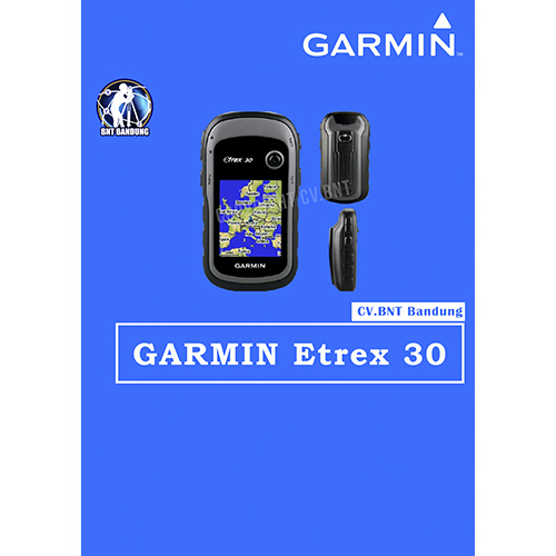
SPESIFICATION GPSMAP GARMIN ETREX 30x

eTrex 30x is our upgraded version of the popular eTrex 30, with enhanced screen resolution for a more readable display and internal memory expanded to hold more maps. It retains the ease-of-use, durability and affordability that eTrex is legendary for and can also be used on ATVs, bicycles, boats, cars or hot air balloons.

  • Greater resolution with 240 x 320 display pixels for improved readability
  • Internal memory expanded to hold more maps
  • Worldwide basemap with shaded relief
  • 2.2-inch, 65K color, sunlight-readable display
  • 3-axis compass and barometric altimeter

Physical dimensions : 2.1″ x 4.0″ x 1.3″ (5.4 x 10.3 x 3.3 cm)
Display size, WxH : 1.4″ x 1.7″ (3.5 x 4.4 cm); 2.2″ diag (5.6 cm)
Display resolution, WxH : 240 x 320 pixels
Display type : 2.2″ transflective, 65K color TFT
Battery : 2 AA batteries (not included)
Water rating : IPX7
High-sensitivity receiver : Yes
Interface : USB
Barometric altimeter : Yes
Electronic compass : Yes
Unit-to-unit transfer (shares data wirelessly with similar units) : Yes
Basemap : Yes
Ability to add maps : Yes
Built-in memory : 3.7GB
Accepts data cards : microSD card (not included)
Custom POIs (ability to add additional points of interest) : Yes
Waypoints/favorites/locations : 2000
Routes : 200
Track log : 10,000 points, 200 saved tracks
Automatic routing (turn by turn routing on roads): Yes (with optional mapping for detailed roads)
Geocaching-friendly: Yes (Paperless)
Custom maps compatible : Yes
Sun and moon information : Yes
Tide tables : Yes (with optional Bluechart)
Area calculation : Yes
Picture viewer : Yes

Gps Garmin Montana 680

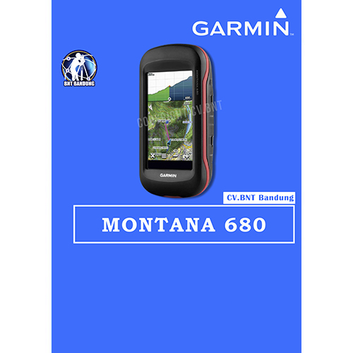
SPESIFICATION GPSMAP GARMIN MONTANA 680

  • GLONASS dengan 8 Megapixel Kamera dan Birdseye
  • 4-inci dual-orientasi, ramah sarung tangan layar touchscreen
  • Kamera autofocus 8 megapiksel; otomatis geotags Foto
  • Trek kedua GPS dan GLONASS satelit
  • 1 tahun berlangganan Birdseye Citra Satelit
  • 3-axis kompas dengan altimeter barometrik


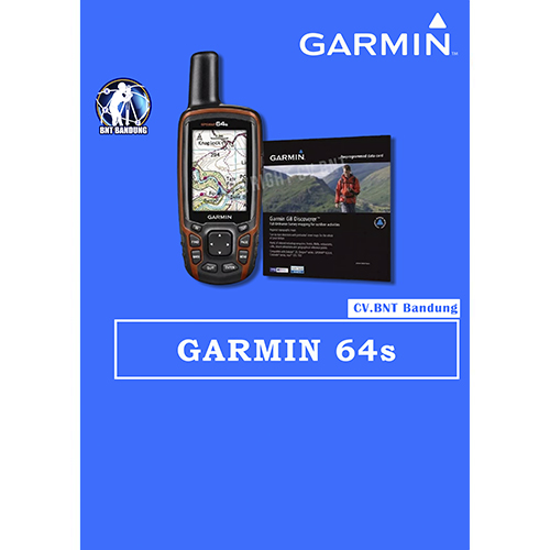
Gps Garmin 64s

SPESIFICATIONS GPSMAP GARMIN 64s

  • Rugged, Full-featured Handheld with GPS, GLONASS and Wireless Connectivity
  • 2.6″ sunlight-readable color screen
  • High-sensitivity GPS and GLONASS receiver with quad helix antenna
  • 1-year BirdsEye Satellite Imagery subscription
  • 3-axis compass with barometric altimeter
  • Wireless connectivity via Bluetooth® technology¹ or ANT+™