
Results for "total station"

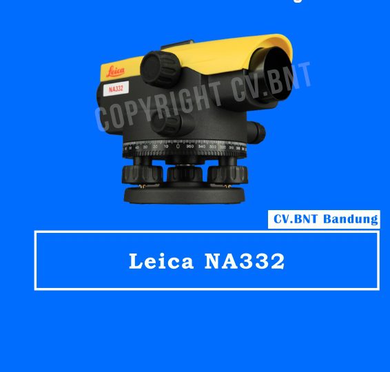
WATERPASS LEICA NA332

Spesifikasi 

  • Standard Deviation
    • for 1km double levelling (ISO17123-2) 2.0 mm
  • TELESCOPE
    • Telescope image Upright
    • Magnification 24x
    • Field of View (at 100 m /328 ft.) < 2.1 m
    • Objective Aperture 36 mm
    • from instr. axis < 1.0 m
    • Multiplication Factor 100
    • Additive Constant
  • COMPENSATOR
    • Working Range ±15′
    • Setting Accuracy (standard deviation) <0.5″
    • Sensitivity 8’/2 mm
  • HORIZONTAL CIRCLE
    • Graduation 360°
    • Gradution interval 1°
    • Setting Accuracy 0.3″
    • Working Range ±15′
    • Weight (net) 1.5 kg
    • Operating Temperature Range -20 °C to +40°C

KEY BENEFITS & FEATURES:

  • Quick and easy measurementsnUnique design and highest quality of results for levelling needsn
  • Manufactured for the most rugged sites and the harshest conditionsn
  • Expert knowledge of Leica Geosystems with more than 270 service centres worldwiden
  • Unbeaten service offering
  • Magnification 32 x
  • IP54
  • Standard deviation for 1 km double levelling (ISO17123-2): 1.8 mm

SUDAH TERMASUK AKSESORIS KOMPLIT STANDAR

  • 1x RAMBU UKUR 3 METER
  • 1x TRIPOD/STATIF

Note:
*Harga Dapat Berubah Sewaktu – waktu tanpa pemberitahuan terlebih dahulu.
*Mohon tanya ketersediaan barang terlebih dahulu.
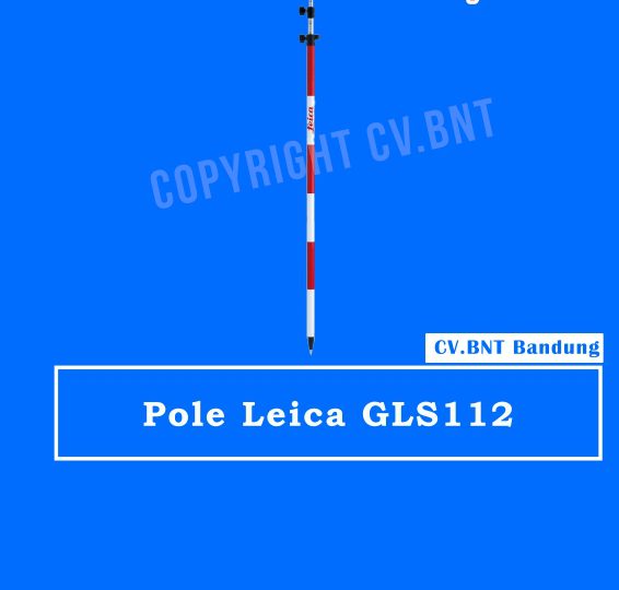
POLE STIK SURVEY LEICA-GLS112

Description Stik Pole Leica GLS112

  • Heavy duty reflector pole with red/white markings for high visibility.
  • Twist lock provides easy and secure tightening.
  • Graduated in cm and ft. Length: 1.47m.
  • Extended length: 3.60m. Weight: 1.88kg.
  • Package Includes Leica GLS112, Reflector pole, with bull’s-eye bubble, cm/ft graduation, extends to 3.65m, with red/white 0.20m graduations.
  • Brand Leica Geosystems

Note:
*Harga Dapat Berubah Sewaktu – waktu tanpa pemberitahuan terlebih dahulu.
*Mohon tanya ketersediaan barang terlebih dahulu.

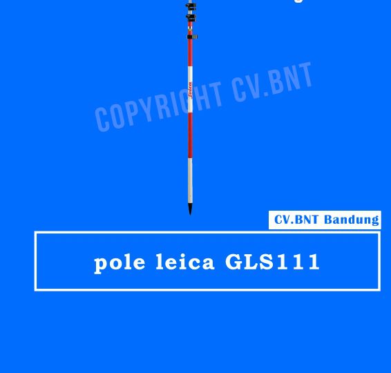
POLE STIK SURVEY LEICA-GLS111

Description Stik Pole Leica GLS111

  • Heavy duty reflector pole with red/white markings for high visibility.
  • Twist lock provides easy and secure tightening.
  • Graduated in cm and ft.
  • Length: 1.40m.
  • Extended length: 2.60m.
  • Weight: 1.48kg.
  • Package Includes Leica GLS111, Reflector pole, with bull’s-eye bubble, cm/ft graduation, extends to 3.65m, with red/white 0.20m graduations.
  • Brand Leica Geosystems

Note:
*Harga Dapat Berubah Sewaktu – waktu tanpa pemberitahuan terlebih dahulu.
*Mohon tanya ketersediaan barang terlebih dahulu.

GPS RTK Topcon Hiper V

Compact, cable-free solution with Vanguard Technology for all GNSS positioning applications.
In a continued commitment to improving the productivity of positioning professionals, Topcon enhances the HiPer family of products by adding Vanguard Technology to the HiPer V. In the early 2000’s Topcon revolutionized GNSS receivers by integrating the design to be compact and light weight. Topcon continues the revolution with Vanguard technology.

Features:

  • Vanguard Technology
  • 226 GNSS Channels
  • Rugged, Magnesium Alloy Construction
  • Integrated RTK and Static Receiver
  • Fence Antenna Advanced Performance

Topcon raises the standard once again by adding Vanguard Technology’s 226 channels and fence antenna into a versatile, configurable receiver, HiPer V. The additional channels and precision antenna element make RTK positioning faster and more productive than any other receiver on the market.

  1. Number of channels and tracked signals vary according to receiver configurations.
  2. RMS Values. Accuracy depends on the number of satellites used, obstructions, satellite geometry (DOP), occupation time, multipath effects, atmospheric conditions, baseline length, survey procedures and data quality.
  3. 10 Hz standard. Higher rates available as options.

Top features include:

  • Universal tracking technology for all satellites and constellations (GPS, GLONASS, Galileo, Beidou, IRNSS, QZSS, SBAS) covering all modernized signals
  • Field tested, field ready IP67 design
  • Compact form factor ideal for Millimeter GPS and Hybrid Positioning
  • Revolutionary 9-axis IMU and ultra-compact 3-axis eCompass
  • Integrated 400 MHz UHF Tx/Rx Radio Modem
  • Integrated License free 900 MHz Radio Modem, FH915 protocol


Note:
*Harga Dapat Berubah Sewaktu – waktu tanpa pemberitahuan terlebih dahulu.
*Mohon tanya ketersediaan barang terlebih dahulu.
GPS RTK  Tersus Oscar Ultimate

Supports multiple constellations & frequencies
  • GPS L1C/A, L2C, L2P, L5
  • GLONASS L1C/A, L2C/A
  • BeiDou B1I, B2I, B2a, B3I
  • Galileo E1, E5a, E5b
  • QZSS L1C/A, L1C, L2C, L5
  • SBAS (EGNOS, WAAS, MSAS, GAGAN) L1C/A
Supports 576 channels
410-470MHz UHF radio, 4G network, Wi-Fi, Bluetooth, NFC
Tilt compensation without calibration, immune to magnetic disturbances
Various working modes
16GB/8GB internal storage
Up to 16 hours working in RTK mode
IP68-rated dust-& waterproof enclosure, for reliability in harsh environmental conditions

Spesifikasi GPS Geodetik / GNSS Receiver Tersus OSCAR

Signal Tracking

  • GNSS
  • GPS L1C/A, L2C, L2P, L5
  • GLONASS L1C/A, L2C/A
  • BeiDou B1I, B2I, B2a, B3I
  • Galileo E1, E5a, E5b
  • QZSS L1C/A, L1C, L2C, L5
  • SBAS (EGNOS, WAAS, MSAS, GAGAN) L1C/A
  • Channels
  • 576
  • Positioning

Single Point Positioning Accuracy (RMS):

  • Horizontal 1.5m
  • Vertical 3.0m
DGPS Positioning Accuracy (RMS):
  • Horizontal 0.4m
  • Vertical 0.8m
SBAS Differential Positioning Accuracy (RMS):
  • Horizontal 0.6m
  • Vertical 1.2m
High-Precision Static (RMS)
  • Horizontal 3 mm + 0.1 ppm
  • Vertical 3.5 mm + 0.4 ppm
Static & Fast Static (RMS)
  • Horizontal 3 mm + 0.5 ppm
  • Vertical 5 mm + 0.5 ppm
Real Time Kinematic (RMS)
  • Horizontal 8 mm + 1 ppm
  • Vertical 15 mm + 1 ppm
Post Processed Kinematic (RMS)
  • Horizontal 8 mm + 1 ppm
  • Vertical 15 mm + 1 ppm
Network Real Time Kinematic (RMS)
  • Horizontal 8 mm + 0.5 ppm
  • Vertical 15 mm + 0.5 ppm
Observation Accuracy (zenith direction):
  • C/A Code: 15cm
  • P Code:20cm
  • Carrier Phase:1mm
Time To First Fix (TTFF):
  • Cold Start:<35s
  • Warm Start:<10s


Note:
*Harga Dapat Berubah Sewaktu – waktu tanpa pemberitahuan terlebih dahulu.
*Mohon tanya ketersediaan barang terlebih dahulu.

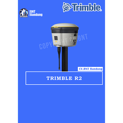
GPS Geodetik RTK GNSS Trimble R2

The Trimble® R2 is a compact, durable GNSS receiver that provides an easy-to-use solution for GIS and survey professionals who need to collect highly accurate data in a wide range of geospatial applications. Capable of delivering between submeter and centimeter positioning accuracy in real-time to any mobile device via a wireless Bluetooth® connection, the R2 receiver gives you total flexibility to choose a solution based on the accuracy and GNSS performance level that suits your application, letting you work the way you want.

  • Professional solution for GIS & survey applications ranging from submeter to centimeter accuracies
  • Easily collect data by pairing with devices such as smartphones, tablets or Trimble handhelds
  • Fast to setup, easy-to-use, keeping you productive and focused on your work
  • Supports multiple satellite constellations and correction sources for accurate data at any location
  • Compact, cable-free design with integrated antenna

High accuracy for survey & GIS applications

  • Capable of delivering submeter to centimeter level positioning accuracy in real-time to suit any field data collection application.
  • Achieve higher accuracy in real-time using correction sources from SBAS and VRS networks to Trimble RTX™ correction services*, delivered by either satellite or Internet, or via traditional RTK methods.
  • Supports multiple satellite constellations and augmentation systems to provide maximum accuracy and positioning performance.

* Trimble RTX available through Trimble applications

Flexible solution

  • Able to be paired with any mobile device on a variety of operating systems and platforms, from a Trimble handheld or controller to a modern smartphone or tablet.
  • You can select the accuracy and GNSS performance level appropriate for your application.
  • Capable of being operated either mounted on a pole, on a backpack or on a vehicle.
  • Integrates with Trimble software such as Trimble Access™, Trimble TerraFlex™ and Trimble Business Center to enable data to be easily collected, communicated and processed, providing you with high-quality deliverables for your organization.

Simple, rugged system

  • One-button start up and compact, streamlined design enables a quick setup.
  • Built to withstand tough conditions meeting military specifications MIL-810G for ruggedness and an IP65 rating.


Note:
*Harga Dapat Berubah Sewaktu – waktu tanpa pemberitahuan terlebih dahulu.
*Mohon tanya ketersediaan barang terlebih dahulu.