Results for "total station"

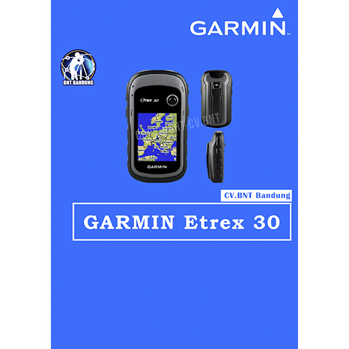
Gps Garmin Etrex 30x

SPESIFICATION GPSMAP GARMIN ETREX 30x

eTrex 30x is our upgraded version of the popular eTrex 30, with enhanced screen resolution for a more readable display and internal memory expanded to hold more maps. It retains the ease-of-use, durability and affordability that eTrex is legendary for and can also be used on ATVs, bicycles, boats, cars or hot air balloons.

  • Greater resolution with 240 x 320 display pixels for improved readability
  • Internal memory expanded to hold more maps
  • Worldwide basemap with shaded relief
  • 2.2-inch, 65K color, sunlight-readable display
  • 3-axis compass and barometric altimeter

Physical dimensions : 2.1″ x 4.0″ x 1.3″ (5.4 x 10.3 x 3.3 cm)
Display size, WxH : 1.4″ x 1.7″ (3.5 x 4.4 cm); 2.2″ diag (5.6 cm)
Display resolution, WxH : 240 x 320 pixels
Display type : 2.2″ transflective, 65K color TFT
Battery : 2 AA batteries (not included)
Water rating : IPX7
High-sensitivity receiver : Yes
Interface : USB
Barometric altimeter : Yes
Electronic compass : Yes
Unit-to-unit transfer (shares data wirelessly with similar units) : Yes
Basemap : Yes
Ability to add maps : Yes
Built-in memory : 3.7GB
Accepts data cards : microSD card (not included)
Custom POIs (ability to add additional points of interest) : Yes
Waypoints/favorites/locations : 2000
Routes : 200
Track log : 10,000 points, 200 saved tracks
Automatic routing (turn by turn routing on roads): Yes (with optional mapping for detailed roads)
Geocaching-friendly: Yes (Paperless)
Custom maps compatible : Yes
Sun and moon information : Yes
Tide tables : Yes (with optional Bluechart)
Area calculation : Yes
Picture viewer : Yes
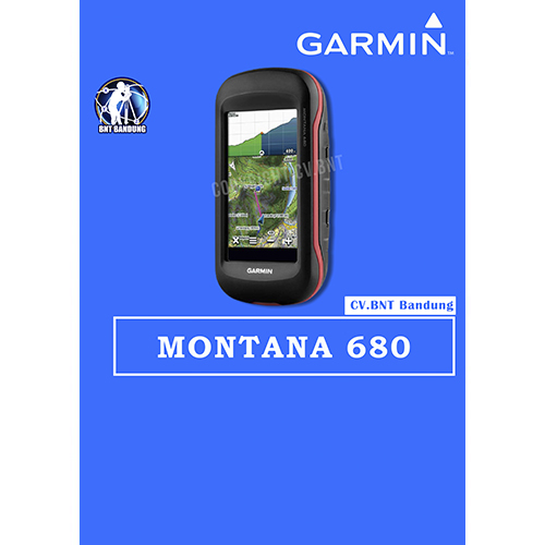
Gps Garmin Montana 680

SPESIFICATION GPSMAP GARMIN MONTANA 680

  • GLONASS dengan 8 Megapixel Kamera dan Birdseye
  • 4-inci dual-orientasi, ramah sarung tangan layar touchscreen
  • Kamera autofocus 8 megapiksel; otomatis geotags Foto
  • Trek kedua GPS dan GLONASS satelit
  • 1 tahun berlangganan Birdseye Citra Satelit
  • 3-axis kompas dengan altimeter barometrik


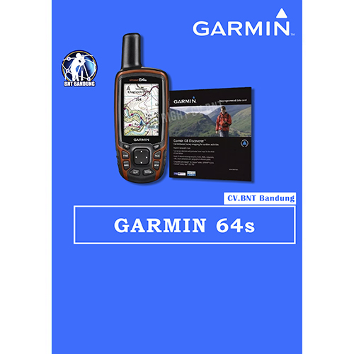
Gps Garmin 64s

SPESIFICATIONS GPSMAP GARMIN 64s

  • Rugged, Full-featured Handheld with GPS, GLONASS and Wireless Connectivity
  • 2.6″ sunlight-readable color screen
  • High-sensitivity GPS and GLONASS receiver with quad helix antenna
  • 1-year BirdsEye Satellite Imagery subscription
  • 3-axis compass with barometric altimeter
  • Wireless connectivity via Bluetooth® technology¹ or ANT+™

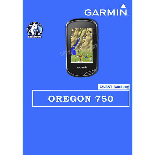
Gps Garmin Oregon 750

SPESIFICATION GPSMAP GARMIN OREGON 750

Perangkat GPS/GlONASS yang Tangguh dengan Wi-Fi bawaan , Kamera dan banyak lagi

  • Penerima sinyal GPS dan Satelit GLONASS dengan kepekaan tinggi untuk performa yang lebih baik di lingkungan yang menantang dibanding dengan GPS saja.
  • Antena yang di desain ulang untuk performa dan penerimaan yang lebih baik, kompas 3-axis dengan sensor akselerometer, barometer dan altimeter.
  • Tampilan layar sentuh yang dapat dibaca di bawah sinar matahari dengan orientasi ganda  berukuran 3″ ( Lanskap ataupun potrait )
  • Koneksi Nirkabel yang diperluas ( kapabilitas Wi-Fi , Bluetooth® , ANT+®) ; termasuk notifikasi¹ cerdas dan pengunggahan otomatis ke komunitas online Garmin Connect™  dan dukungan Active Weather dan Geocaching Live
  • Kamera auto-fokus 8MP ; foto dengan penandaan geografis otomatis

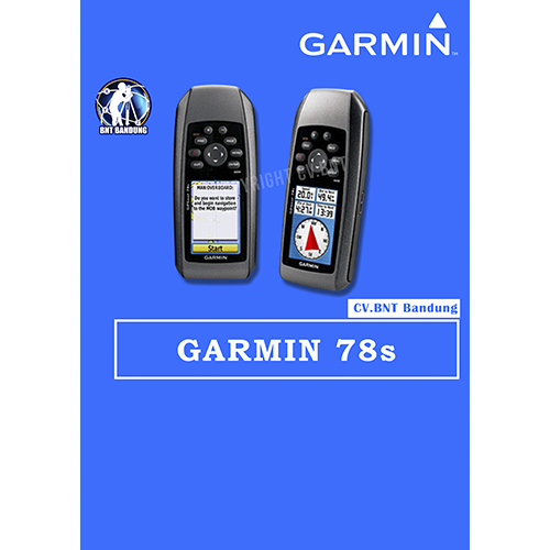
Gps Garmin 78s

SPESIFICATION GPSMAP GARMIN 78s

    • Automatic routing (turn by turn routing on roads):yes (with optional mapping for detailed roads)
    • Electronic compass:yes (tilt-compensated, 3-axis)
    • Touchscreen:no
    • Barometric altimeter:yes
    • Camera:no
    • Geocaching-friendly:yes (paperless)
    • Custom maps compatible:yes
    • Photo navigation (navigate to geotagged photos):yes
    • Outdoor GPS games:no
    • Hunt/fish calendar:yes
    • Sun and moon information:yes
    • Tide tables:yes
    • Area calculation:yes
    • Custom POIs (ability to add additional points of interest):
    • Unit-to-unit transfer (shares data wirelessly with similar units):yes
    • Picture viewer:no
    • Garmin Connectâ„¢ compatible (online community where you analyze, categorize and share data):yes

SPESIFICATION 

  • Akurasi : 3 – 5 meter
  • Resolusi layar, WxH: 160 x 240 piksel
  • Baterai alkaline
  • basemap
  • built in memory 1.7GB
  • titik : 7.000 point

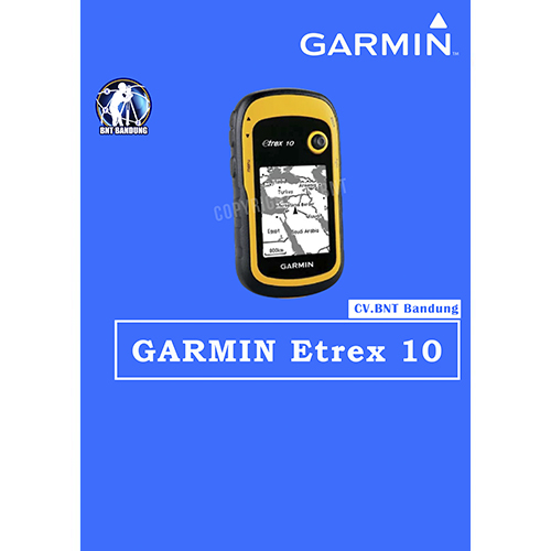
Gps Garmin Etrex 10

SPESIFICATION GPSMAP GARMIN ETREX 10

  • Rugged Handheld GPS with Enhanced Capabilities
  • Worldwide basemap
  • 2.2″ monochrome display, easy to read in any light
  • GPS and GLONASS satellites for faster positioning
  • Paperless geocaching
  • 25-hour battery life with 2 AA batteries