Results for "total station"

GPS Geodetik RTK GNSS Geomax Zenith 35

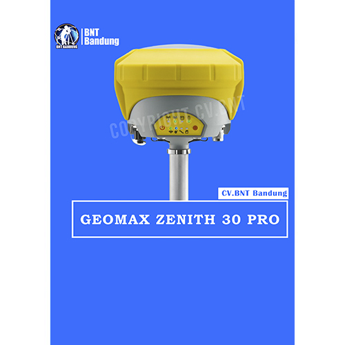
Spektrum penuh dari sinyal satelit, konektivitas penuh, dan fungsi Tilt & Go yang unik semuanya dalam GNSS yang ringkas menjadikan seri Zenith35 Pro GNSS yang berfungsi saat Anda melakukannya.

Sebuah sudut gedung atau bahkan selokan di bawah mobil yang diparkir? Fungsi Zenith35 Pro Tilt & Go yang unik memungkinkan Anda untuk mengukur titik di mana penempatan vertikal tiang tidak mungkin, seperti sudut-sudut rumah.


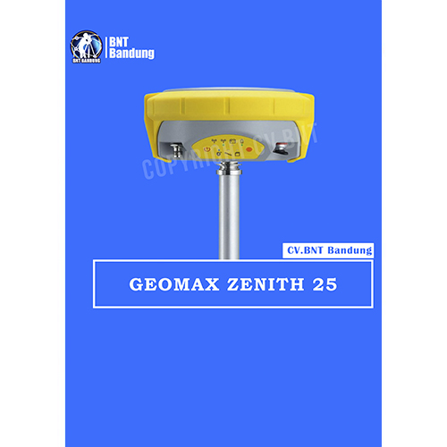
GeoMaz GNSS Zenith 25

  • Equipped with the most advanced GNSS receiver technology,
  • Zenith25 Pro series supports GPS, GLONASS, Galileo, BeiDou,
  • and SBAS systems. Suitable for any application, the Zenith25
  • Pro series additionally considers new GNSS constellations like BeiDou and Galileo today and is prepared for even more signals tomorrow.

*BeiDou tracking B1,B2

Galileo tracking E1, E5b
Positioning rate 20Hz*, 5Hz
SBAS EGNOS, WAAS, MSAS, GAGAN

ACCURACY
Static H/ V (mm + ppm) 3 + 0.5 / 5 + 0.5
Static long H/ V (mm + ppm) 3 + 0.1/ 3.5 + 0.4
Kinematic H/ V (mm + ppm) 8 + 1 / 15 + 1

**COMMUNICATION
GSM/GPRS module Quad-Band GSM & Penta-Band ; UMTS 800 /850 /900 /1900 /2100 MHz ;internal antenna
UHF radio module 000 mW transcei ver; 4 06480MHz
Bluetooth Device class II
Communication port USB, serial and power

**INTERFACES
Keyboard On/off and function keys
LED status and mode indicators Position, battery, Bluetooth
,RTK receive, RTK transmit, storage card ;
Rover, base, static

Data recording GSM / TCP / IP

GeoMax Zenith15 adalah receiver GNSS yang lengkap dan terintegrasi penuh, yang memungkinkan pelacakan sistem GPS dan GLONASS. Tersedia sebagai model GSM atau GSM-UHF Zenith 15 adalah pilihan ekonomis Anda.GeoMax Zenith15 adalah receiver GNSS yang lengkap dan terintegrasi penuh, yang memungkinkan pelacakan sistem GPS dan GLONASS. Tersedia sebagai model GSM atau GSM-UHF Zenith15 adalah pilihan ekonomis Anda.

The GeoMax Zenith15 is a complete and fully integrated GNSS receiver, allowing tracking GPS and GLONASS systems. Available as GSM or GSM-UHF model Zenith15 is your economic choice.

COMPACT

  • Integrated GSM antenna
  • Quick swappable SIM & microSD card
  • Complete control with receiver keypad
  • HIGH PERFORMANCE
  • NovAtel® technology
  • GPS, GLONASS & SBAS
  • GSM/GPRS, UHF radio & Bluetooth®

MIX & MATCH
Combine with your preferred datalogger and software
Open connectivity
Complete setup flexibility

Spesifikasi :
Q-Lock technology : Lowest noise and multipath mitigation
Satellites (Max. number tracked simultaneously) : 60
Channels : 120
GPS tracking : L1, L2, L2C
Glonass tracking : L1, L2
Positioning rate : 5Hz
SBAS : EGNOS, WAAS, MASAS, GAGAN

Accuracy
Static H/V (mm + ppm) : 5 + 0.5 / 10 + 0.5
Static long H/V (mm + ppm) : 3 + 04 / 3.5 + 0.4
Kinematic H/V (mm + ppm) : 10 + 1 / 20 + 1

Communication
GSM/GPRS module : Quad-Band GSM & Penta-Band; UMTS 800/850/ 900/ 1900/ 2100 Mhz; internal antenna
UHF radio module : 1000 mW transceiver, 406 – 480 MHz
Bluetooth : Device class II
Communication port : USB, serial and power

Power Supply
External power / Internal battery : 10.5 V to 28 v / Removable 2.6 Ah ; 74 V
Operating time (static/rover) : 7.5 h / 5 h

Interfaces
Keyboard : On/Off and function keys
LED status and mode indicators : Position, battery, Bluetooth, RTK transmit, storage card; Rover, base, static
Data recording : 8Gb removable microSD card
GSM / TCP / IP : Removable SIM card

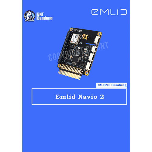
This is the Navio2 Autopliot Shield that is used with the Raspberry Pi board (sold separately). This autopilot is not only designed as a platform for a Linux version of APM but also as a platform for your custom robotic projects.

The Navio2 eliminates any need to have multiple controllers on-board as everything is packed into one (with the Raspberry Pi), thus increasing the robustness of your project and facilitating the development.

With the Navio2, you can control all kinds of moving robots such as cars, boats, multirotors and planes. The Navio2 is also equipped with double IMU and a GPS/Glonass/Beidou receiver for accurate positioning and orientation.

Navio is more than a ready to fly autopilot – it was built for research and education and has proven itself in universities and research institutions worldwide. Just think of the numerous projects that involve IMU, GPS, barometer, servo control and a user-friendly programming environment.

Open-source drivers and detailed tutorials are available both in C++ and Python. All experimental data can be processed directly on Raspberry Pi.

Emlid Reach M2 w / GNSS Antenna
Menawarkan navigasi yang tepat dan pemetaan UAV
Memungkinkan Anda bekerja dengan lancar dengan penerima Jangkauan lain melalui tautan apa pun
Memberikan kinerja yang kuat dan inisialisasi cepat
Akurasi posisi sentimeter di RTK dan PPK

Antena Emlid Reach M2 w / GNSS menawarkan navigasi yang tepat dan pemetaan UAV. Reach M2 bekerja secara mulus dengan penerima Reach lainnya melalui tautan apa pun dan kompatibel dengan penerima lain yang mendukung RTCM3 dan NTRIP. Ini memberikan kinerja yang kuat dan inisialisasi cepat, memungkinkan pekerjaan pada baseline yang panjang.

ReachView adalah perangkat lunak yang paling ramah pengguna untuk pengumpulan data yang tersedia untuk Android dan iOS. Dengan setiap tampilan, Anda dapat mengontrol semua fitur penerima Jangkauan, seperti menyiapkan pemancar, pencatatan data RINEX, mengonfigurasi keluaran NMEA, dan memantau data.

Specifications
Signal tracked: GPS/QZSS L1C/A, L2C GLONASS L1OF, L2OF BeiDou B1I, B2I Galileo E1-B/C, E5b
Number of channels: 184
Update rates: 20 Hz GPS/10 Hz GNSS (coming with a software update, up to 10 Hz now)
IMU: 9DOF

Reach M + RTK modul GNSS untuk navigasi yang tepat dan pemetaan UAV.
Reach M + adalah penerima multi-GNSS RTK yang ringkas dan terjangkau dengan IMU bawaan untuk ketepatan navigasi dan pemetaan UAV tanpa GCP.
Ini dapat memberikan koordinat ke sentimeter dalam RTK mode. Mode RTK membutuhkan sepasang penerima: satu stasioner yang menyediakan koreksi, yang lain satu gerakan yang menerapkan koreksi dan memberikan koordinat yang tepat. Reach M + menjalankan mesin RTK opensource “RTKLIB” yang ditulis oleh Tomoji Takasu.