Results for "south"

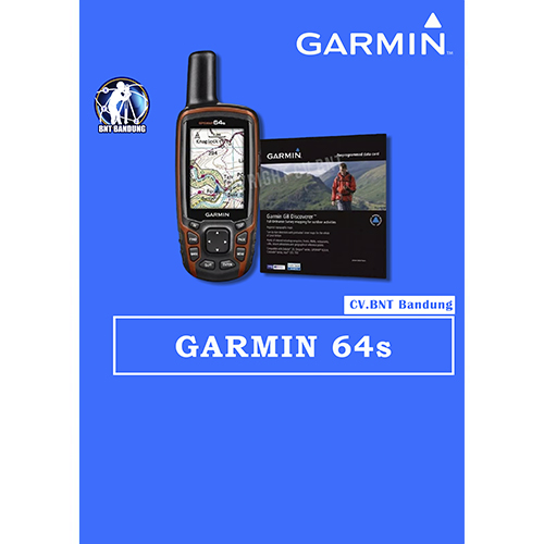
Gps Garmin 64s

SPESIFICATIONS GPSMAP GARMIN 64s

  • Rugged, Full-featured Handheld with GPS, GLONASS and Wireless Connectivity
  • 2.6″ sunlight-readable color screen
  • High-sensitivity GPS and GLONASS receiver with quad helix antenna
  • 1-year BirdsEye Satellite Imagery subscription
  • 3-axis compass with barometric altimeter
  • Wireless connectivity via Bluetooth® technology¹ or ANT+™
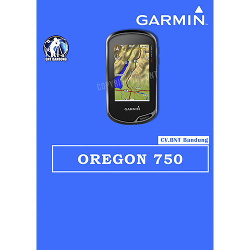
Gps Garmin Oregon 750

SPESIFICATION GPSMAP GARMIN OREGON 750

Perangkat GPS/GlONASS yang Tangguh dengan Wi-Fi bawaan , Kamera dan banyak lagi

  • Penerima sinyal GPS dan Satelit GLONASS dengan kepekaan tinggi untuk performa yang lebih baik di lingkungan yang menantang dibanding dengan GPS saja.
  • Antena yang di desain ulang untuk performa dan penerimaan yang lebih baik, kompas 3-axis dengan sensor akselerometer, barometer dan altimeter.
  • Tampilan layar sentuh yang dapat dibaca di bawah sinar matahari dengan orientasi ganda  berukuran 3″ ( Lanskap ataupun potrait )
  • Koneksi Nirkabel yang diperluas ( kapabilitas Wi-Fi , Bluetooth® , ANT+®) ; termasuk notifikasi¹ cerdas dan pengunggahan otomatis ke komunitas online Garmin Connect™  dan dukungan Active Weather dan Geocaching Live
  • Kamera auto-fokus 8MP ; foto dengan penandaan geografis otomatis

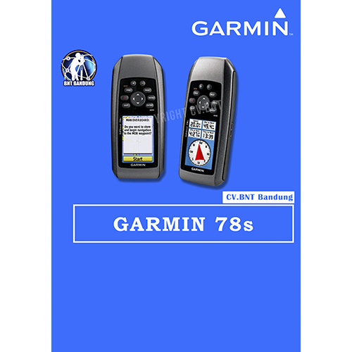
Gps Garmin 78s

SPESIFICATION GPSMAP GARMIN 78s

    • Automatic routing (turn by turn routing on roads):yes (with optional mapping for detailed roads)
    • Electronic compass:yes (tilt-compensated, 3-axis)
    • Touchscreen:no
    • Barometric altimeter:yes
    • Camera:no
    • Geocaching-friendly:yes (paperless)
    • Custom maps compatible:yes
    • Photo navigation (navigate to geotagged photos):yes
    • Outdoor GPS games:no
    • Hunt/fish calendar:yes
    • Sun and moon information:yes
    • Tide tables:yes
    • Area calculation:yes
    • Custom POIs (ability to add additional points of interest):
    • Unit-to-unit transfer (shares data wirelessly with similar units):yes
    • Picture viewer:no
    • Garmin Connectâ„¢ compatible (online community where you analyze, categorize and share data):yes

SPESIFICATION 

  • Akurasi : 3 – 5 meter
  • Resolusi layar, WxH: 160 x 240 piksel
  • Baterai alkaline
  • basemap
  • built in memory 1.7GB
  • titik : 7.000 point

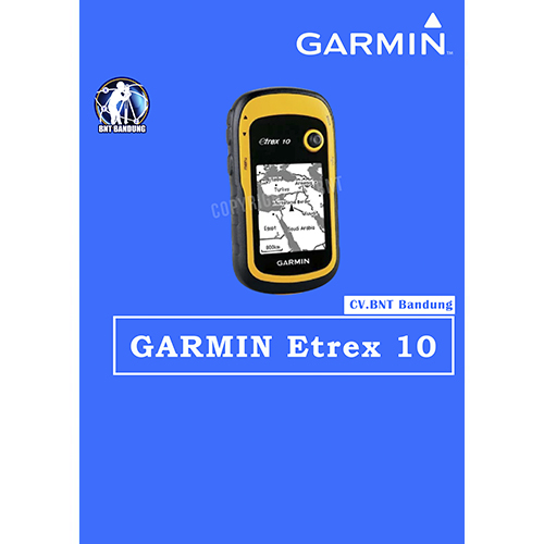
Gps Garmin Etrex 10

SPESIFICATION GPSMAP GARMIN ETREX 10

  • Rugged Handheld GPS with Enhanced Capabilities
  • Worldwide basemap
  • 2.2″ monochrome display, easy to read in any light
  • GPS and GLONASS satellites for faster positioning
  • Paperless geocaching
  • 25-hour battery life with 2 AA batteries

SPESIFICATIONS KOMPAS SUUNTO KB-20

KB-20 is a lightweight, water resistant compass that was designed to float on water. This durable compass is known for its accuracy, it always gets within 1 degree, has a graduation of 1 degree and has reverse scale.

  • Dimensions : 2-7/ 8″ x 2-1/ 8″ x 5/ 8″
  • High impact plastic housing and is both waterproof and shockproof
  • Damping liquid: surrounds scale cards, assures smooth, accurate and quick readings
  • Compass scale is azimuth ( 0-360 degrees) , graduated in 1 degree
  • Reverse scale visible through the compass optics
  • Compass is individually calibrated for an accuracy of ± 0.5 degree
  • Include lanyard without case

HARGA BELUM TERMASUK PPN 10%
HARGA SEWAKTU-WAKTU DAPAT BERUBAH


JASA TOPOGRAFI

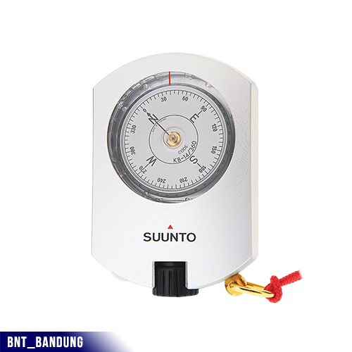
SPESIFICATIONS KOMPAS SUUNTO KB-14

  • Accuracy 1/3°
  • Graduation interval 0.5°
  • Anodized light-alloy housing
  • Optical adjustment
  • Damping liquid
  • Jeweled bearing
  • Declination correction (in D-versions)
  • Nylon pouch with belt-loop
  • Lanyard
  • Available for 5 geographic balancing zones
  • 2-year warranty
  • Dimensions: 75 x 52 x 15 mm
  • Weight: 115 g / 4 oz

    JASA TOPOGRAFI