Results for "GPS RTK"

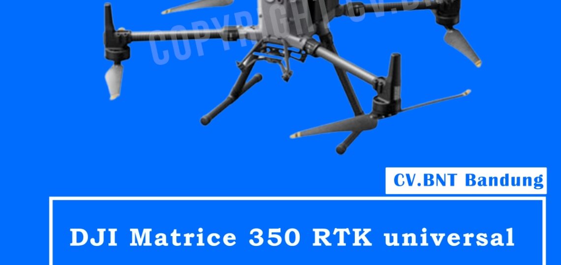
Drone DJI Matrice 350 RTK dengan Teknologi LiDAR: Solusi Pemetaan Modern Dalam dunia survei dan pemetaan modern, teknologi drone telah menjadi pilihan utama untuk menghasilkan data yang cepat, akurat, dan efisien. Salah satu perangkat terbaru yang menjadi andalan para profesional adalah DJI Matrice 350 RTK (M350 RTK) yang dapat dipadukan dengan sensor LiDAR. Kombinasi ini…

Dalam dunia survei dan pemetaan, kebutuhan akan akurasi tinggi, kecepatan, dan efisiensi menjadi semakin penting. Hi-Target sebagai salah satu produsen peralatan survei terkemuka menghadirkan dua perangkat unggulan: LiDAR RTK Hi-Target V700s dan iRTK5. Kini, keduanya hadir dengan harga promo spesial untuk membantu Anda menyelesaikan proyek pemetaan dengan hasil terbaik. 🔹 Hi-Target V700s – Receiver GNSS…

DJI Matrice 350 RTK

Spesification :
IP55 weatherproof rating 55 minutes max flight
time 2.7 kg Max payload with triple 8km Max
transmission range (CE) 6 Directional sensing
with infrared Operating mode : A.I Spot check &
hi-res grid photo Smart track & pimpoint feature
Night visison FPV camera 7000m max ceiling
attitude 12m/s max wind speed resistance

Include box :
1x Aircraft matrice 350
2x Landing gear
112,747,748
1x 2110s propeller (Pair)
1x RC plus remote controller
1x Controller battery
1x Extra propellers (Pairs)
1x Cleaning tools
*Excluding Battery dan battery station


Note:
Harga sewaktu waktu bisa berubah.

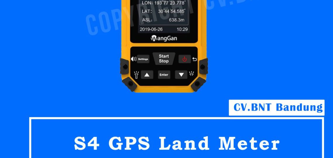
Gps Map Land Meter GNSS S4 Wanggan

Spesifikasi GPS Land Meter S4 Wanggan

Features: High sensitivity GNSS receiver chip.
Automatic farmland area & length measurement.
Easy to operate, easy to export data.
Able to set unit-price
total working price display after measurement.
Fallproof, waterproof and dustproof.
HD color display Specification:
Brand Name: WangGan Application
Land Surveying Color: Black + Yellow
Battery: Lithium Battery+AAA battery
Function: Multi-function
Warranty: 12 Months
Satellite signals: GPS GNSS SBAS BeiDou Working temperature: -20„ƒ~65„ƒ
Storage temperature: -40„ƒ~75„ƒ
Dimensions: 117mm x 61mm x 22mm
Weight: 120g
Package size: 180mm x 140mm x 80mm
Gross weight: 0.4kg


GPS Wanggan GNSS 4 bisa di bilang lebih unggul dari pada dengan gps handheld yang biasa dipakai karena gps ini bisa menangkap banyak satelite dan yang paling di unggulkan karena bisa di gunakan sebagai controller untuk beberaapa gps rtk.


Harus Tau

buat sahabat survey yang tidak tahu apa kelebihan membeli GPS RTK GNSS SATELIT S1 di cv.bnt kami berikan alasannya kenapa kalian harus beli alat di CV.BNT :
1. GPS Wangan Bergaransi Resmi.
2. Toko milik sendiri jelas dan berlegalitas.
3. Siap melakukan transaksi seluruh indonesia.
4. Free pelatihan dasar GPS (syarat ketentuan berlaku).
5. klaim garansi no ribet.
6. Free Konsultasi alat GPS yang cocok untuk proyek kalian sedang kerjakan.
dan yang paling penting CV.BNT sudah MOU dengan beberapa BUMN dan Dinas.

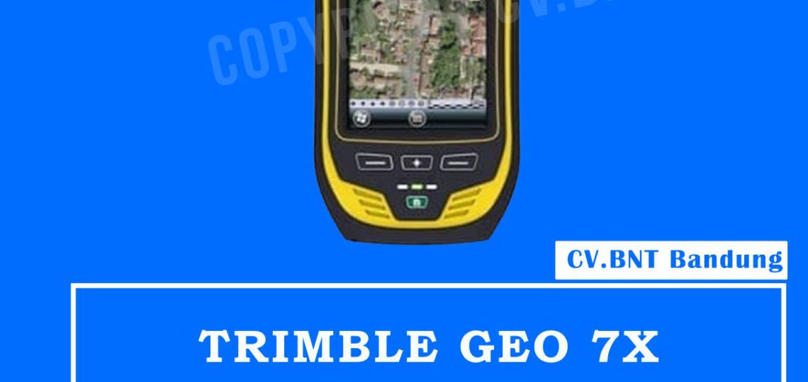
Gps Trimble Geo 7x

Eliminate physical barriers to field success

Trimble Flightwave™ technology with the detachable Geo 7 rangefinder accessory, enabling positions to be captured at distances up to 120 m—perfect for when there are obstacles such as traffic or private land access limitations.
Trimble Floodlightâ„¢ satellite shadow reduction technology to keep you working when heavy overhead cover (such as trees and buildings) obstructs GNSS satellite reception.


Smart data collection, smart investment

Provides compatibility with existing and currently planned GNSS constellations to deliver reliable GNSS tracking today and for years to come.
Achieves better accuracy in real time without need for a traditional reference station-based infrastructure or VRS network, thanks to Trimble RTX™ correction service options.
Compatible with Trimble GIS field and office software to provide you with flexible end-to-end data collection solutions and workflow choices.


Everything you need

  • Powerful 1.0 GHz processor
  • 256 MB RAM
  • 4 GB of onboard storage
  • IP65 rating
  • Built-in 5MP camera with enhanced zoom operation, bright color reproduction, and geo-tagging capability
  • Sunlight-optimized display to maintain exceptional clarity in all outdoor conditions, for crisp on-screen text and images
  • Integrated dual-mode cellular modem that enables continuous network and Internet access to real-time map data, web-based services, Trimble VRS Nowâ„¢ and Trimble RTX corrections, and live updates of field information


Note:
*Harga Dapat Berubah Sewaktu – waktu tanpa pemberitahuan terlebih dahulu.
*Mohon tanya ketersediaan barang terlebih dahulu.

GeoMax Zenith15 adalah receiver GNSS yang lengkap dan terintegrasi penuh, yang memungkinkan pelacakan sistem GPS dan GLONASS. Tersedia sebagai model GSM atau GSM-UHF Zenith 15 adalah pilihan ekonomis Anda.GeoMax Zenith15 adalah receiver GNSS yang lengkap dan terintegrasi penuh, yang memungkinkan pelacakan sistem GPS dan GLONASS. Tersedia sebagai model GSM atau GSM-UHF Zenith15 adalah pilihan ekonomis Anda.

The GeoMax Zenith15 is a complete and fully integrated GNSS receiver, allowing tracking GPS and GLONASS systems. Available as GSM or GSM-UHF model Zenith15 is your economic choice.

COMPACT

  • Integrated GSM antenna
  • Quick swappable SIM & microSD card
  • Complete control with receiver keypad
  • HIGH PERFORMANCE
  • NovAtel® technology
  • GPS, GLONASS & SBAS
  • GSM/GPRS, UHF radio & Bluetooth®

MIX & MATCH
Combine with your preferred datalogger and software
Open connectivity
Complete setup flexibility

Spesifikasi :
Q-Lock technology : Lowest noise and multipath mitigation
Satellites (Max. number tracked simultaneously) : 60
Channels : 120
GPS tracking : L1, L2, L2C
Glonass tracking : L1, L2
Positioning rate : 5Hz
SBAS : EGNOS, WAAS, MASAS, GAGAN

Accuracy
Static H/V (mm + ppm) : 5 + 0.5 / 10 + 0.5
Static long H/V (mm + ppm) : 3 + 04 / 3.5 + 0.4
Kinematic H/V (mm + ppm) : 10 + 1 / 20 + 1

Communication
GSM/GPRS module : Quad-Band GSM & Penta-Band; UMTS 800/850/ 900/ 1900/ 2100 Mhz; internal antenna
UHF radio module : 1000 mW transceiver, 406 – 480 MHz
Bluetooth : Device class II
Communication port : USB, serial and power

Power Supply
External power / Internal battery : 10.5 V to 28 v / Removable 2.6 Ah ; 74 V
Operating time (static/rover) : 7.5 h / 5 h

Interfaces
Keyboard : On/Off and function keys
LED status and mode indicators : Position, battery, Bluetooth, RTK transmit, storage card; Rover, base, static
Data recording : 8Gb removable microSD card
GSM / TCP / IP : Removable SIM card