Results for "GPS RTK ComNav"

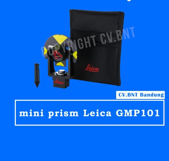
mini prisma Leica GMP101

  • Includes circular bubble, removable target plate, spike and padded bag.
  • Leica prism constant: +17.5mm.
  • Centring accuracy: 1.0mm.
  • Range: 200m (700ft).

Note:
*Harga Dapat Berubah Sewaktu – waktu tanpa pemberitahuan terlebih dahulu.
*Mohon tanya ketersediaan barang terlebih dahulu.

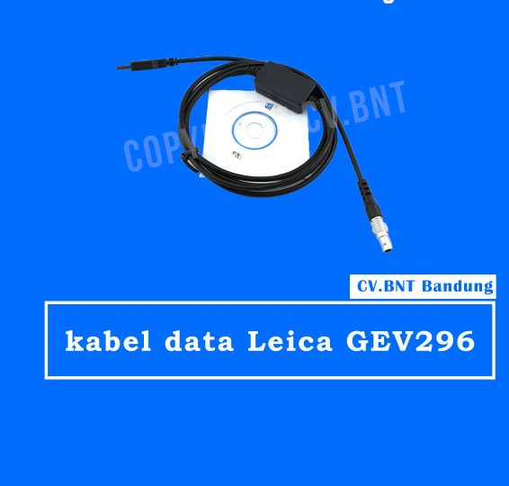
kabel data Leica GEV296


Buktikan dan dateng langsung ke Base Station.
Alamat : Komplek Sapta Taruna PU Jl Suhodo Blok B2 No 14 Terusan Buah Batu Bandung 40287

– Lokasi Dijalan Utama dan mudah di jangkau.
– Dekat Dengan Tol Buahbatu (akses bisa lebih cepat).
– Parkiran yang Luas.
– Kantor Milik Sendiri.
– Legalitas Jelas dan Terpecaya.
– Bekerja Sama Dengan Beberapa BUMN dan Intasi Pemerintah.
– Pelayanan Ramah dan Harga Bersaing.
– Alat lengkap dan Bergaransi Resmi.

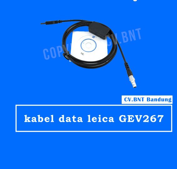
kabel data leica GEV267


Buktikan dan dateng langsung ke Base Station.
Alamat : Komplek Sapta Taruna PU Jl Suhodo Blok B2 No 14 Terusan Buah Batu Bandung 40287

– Lokasi Dijalan Utama dan mudah di jangkau.
– Dekat Dengan Tol Buahbatu (akses bisa lebih cepat).
– Parkiran yang Luas.
– Kantor Milik Sendiri.
– Legalitas Jelas dan Terpecaya.
– Bekerja Sama Dengan Beberapa BUMN dan Intasi Pemerintah.
– Pelayanan Ramah dan Harga Bersaing.
– Alat lengkap dan Bergaransi Resmi.

JASA TOPOGRAFI

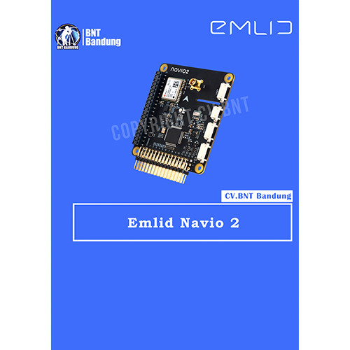
This is the Navio2 Autopliot Shield that is used with the Raspberry Pi board (sold separately). This autopilot is not only designed as a platform for a Linux version of APM but also as a platform for your custom robotic projects.

The Navio2 eliminates any need to have multiple controllers on-board as everything is packed into one (with the Raspberry Pi), thus increasing the robustness of your project and facilitating the development.

With the Navio2, you can control all kinds of moving robots such as cars, boats, multirotors and planes. The Navio2 is also equipped with double IMU and a GPS/Glonass/Beidou receiver for accurate positioning and orientation.

Navio is more than a ready to fly autopilot – it was built for research and education and has proven itself in universities and research institutions worldwide. Just think of the numerous projects that involve IMU, GPS, barometer, servo control and a user-friendly programming environment.

Open-source drivers and detailed tutorials are available both in C++ and Python. All experimental data can be processed directly on Raspberry Pi.

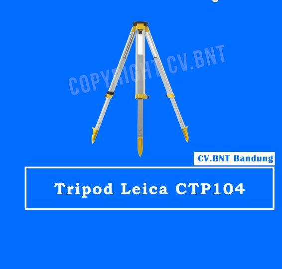
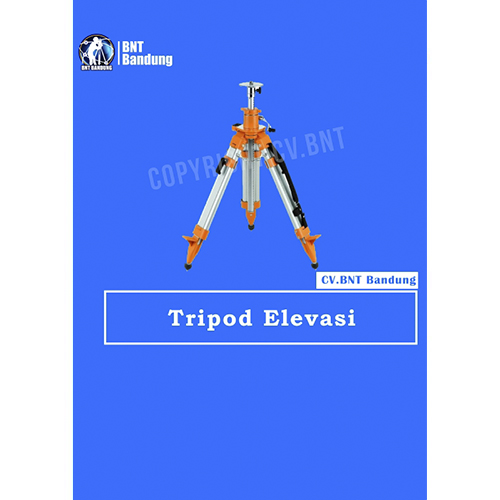
Tripod survey elevasi berkualitas tinggi yang kokoh dan stabil untuk mendukung pengukuran akurat menggunakan total station maupun GPS RTK. Mudah diatur, kuat, dan tahan untuk penggunaan lapangan.

Ready Stock

  • Tripod Elevasi Lokal
  • Kualitas dijamin bagus
  • levasi 180cm up to 230cm

Hubungi WA/Call 081222229059