Description
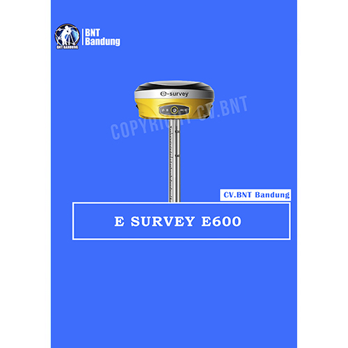
GPS RTK E-SURVEY E600
GPS RTK E-SURVEY E600 Call/Whatsapp (0812-2222-9059) merupakan alat ataupun perangkat yang digunakan untuk menerima sinyal berupa gelombang sinus yang dipancarkan oleh satelit GPS. Receiver GPS diletakkan pada permukaan bumi guna menerima sinyal tersebut dan mengolahnya menjadi suatu data tertentu.
Sebuah GPS receiver bekerja untuk menemukan 3 atau lebih sinyal satelit yang ada dan kemudian memproses informasi yang didapat dari satelit-satelit tersebut untuk dapat menentukan lokasi yang ada.
- Gratis Pelatihan Untuk Pembelian alat Diatas
- Untuk Negosiasi Harga GPS Geodetik RTK bisa langsung WA/Call
- GRATIS ONGKIR UNTUK WILAYAH BANDUNG
Harus Tau
Buat sahabat survey yang tidak tahu apa kelebihan membeli GPS RTK GNSS di cv.bnt kami berikan alasannya kenapa kalian harus beli alat di CV.BNT :
- GPS RTK GNSS Bergaransi Resmi.
- Toko milik sendiri jelas dan berlegalitas.
- Siap melakukan transaksi seluruh indonesia.
- Free pelatihan dasar GPS RTK GNSS (syarat ketentuan berlaku).
- Klaim garansi no ribet.
- Free Konsultasi alat GPS RTK GNSS yang cocok untuk proyek kalian sedang kerjakan.
- dan yang paling penting CV.BNT sudah MOU dengan beberapa BUMN dan Dinas.
Produk Lainnya : Topcon, Sokkia, Trimble, Leica, Nikon, South, Stonex, Ruide, Geomax, Hi target, sewa total station, sewa gps rtk